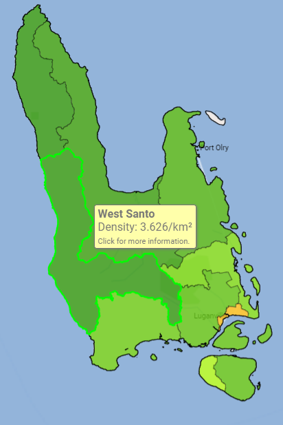
West Santo Area Council

The West Santo Area Council is a local government entity situated on the western coast of Espiritu Santo Island in Sanma Province, Vanuatu. It is one of 11 area councils within the province and operates as the grassroots administrative unit closest to the communities it serves. These councils play a crucial role in local governance, community development, and the implementation of national policies at the village level.
In November 2021, the West Santo and North West Santo Area Councils jointly launched the Western Santo Sustainable Development Plan 2030. This initiative, developed in collaboration with the Santo Sunset Environment Network, involved extensive community consultations across more than 42 villages, engaging over 5,000 residents. The plan aligns local development priorities with the SANMA Provincial Strategic Development Plan, Vanuatu's National Sustainable Development Goals (NSDP), and the United Nations Sustainable Development Goals (SDGs).
Data & statistique Download Sanma Province Community Profiling

43

2,276

528

885.5 km²
Contact
Tel : 7743542 / 5224506
Location : WUSI
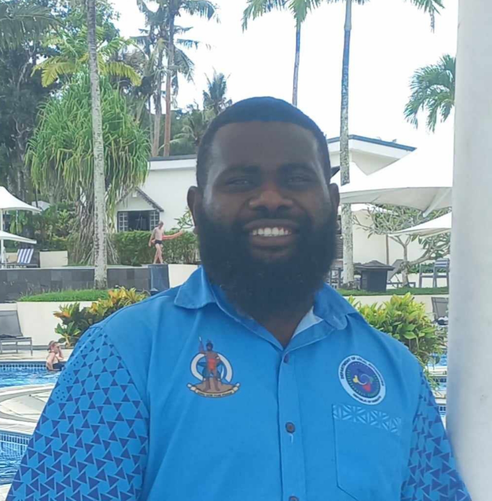
Samuel Kenneth
Area Administrator (AA)
7743542 / 5224506
Mwai Lenki
Community Liaison Officer (CLO)
7674579
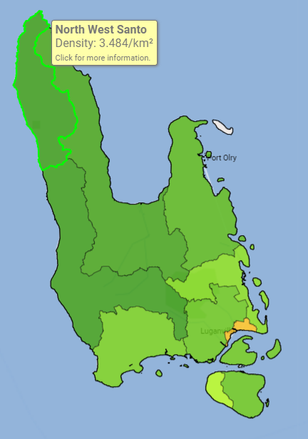
North West Santo Area Council
The North West Santo Area Council is a local government division within Sanma Province, Vanuatu, encompassing several rural and remote communities on the northwestern coast of Espiritu Santo island.
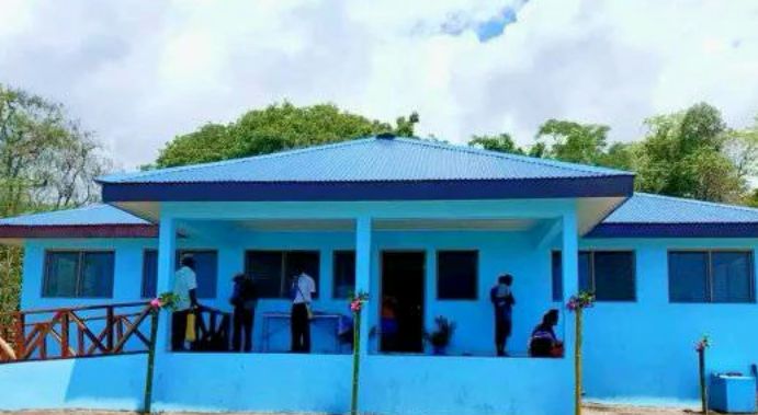
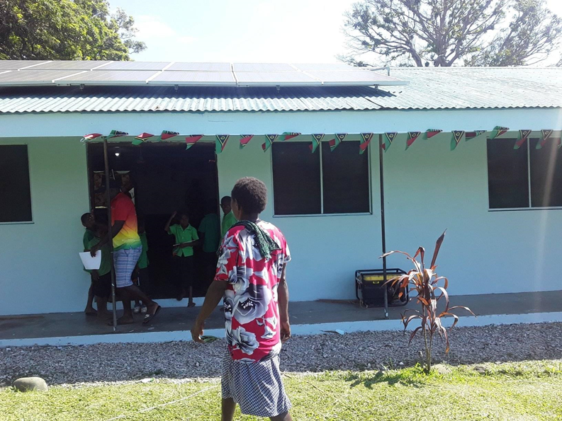
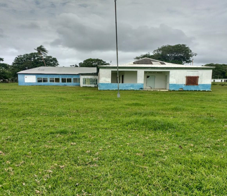
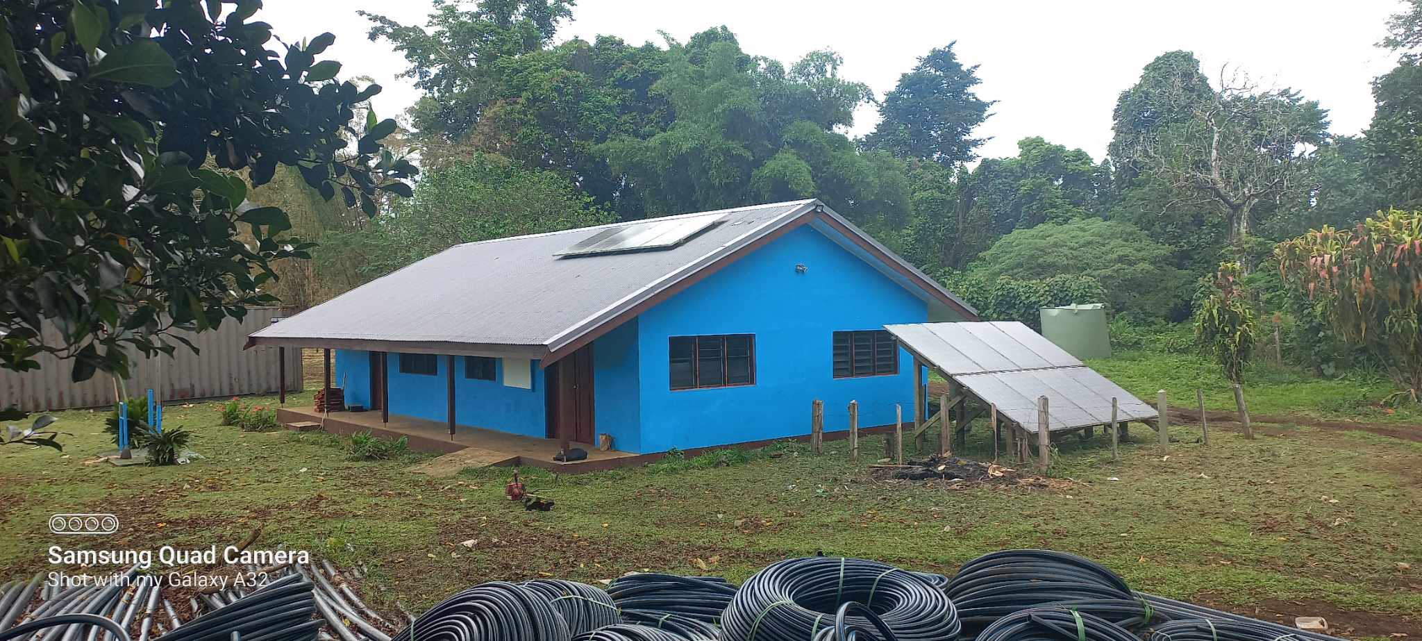
The Santo West Coast Area Council Headquarter office is located in Wusi Village. This new building serves as a central hub for government and administrative services, a cyclone evacuation center, and a driver for local economic development. It was officially opened on November 26, 2024.
The North West Santo Area Council is administered by an Area Administrator, who serves as a liaison between the local communities and the national government. The council comprises representatives from various sectors, including chiefs, women, youth, and churches, ensuring inclusive governance.
In collaboration with the neighboring West Coast Santo Area Council, North West Santo launched the Western Santo Sustainable Development Plan 2030 in November 2021. This plan aligns local development priorities with the Sanma Provincial Strategic Development Plan, Vanuatu's National Sustainable Development Goals, and the United Nations Sustainable Development Goals. The initiative emphasizes community-led planning and sustainable development practices.
Data & statistique Download Sanma Province Community Profiling
32
1,426
297
457.5 km²
Contact
Tel : 7769916
Location : OLPOI
Kerry Rojo
Community Liaison Officer (CLO)
7769916
South Santo One (1) Area Council
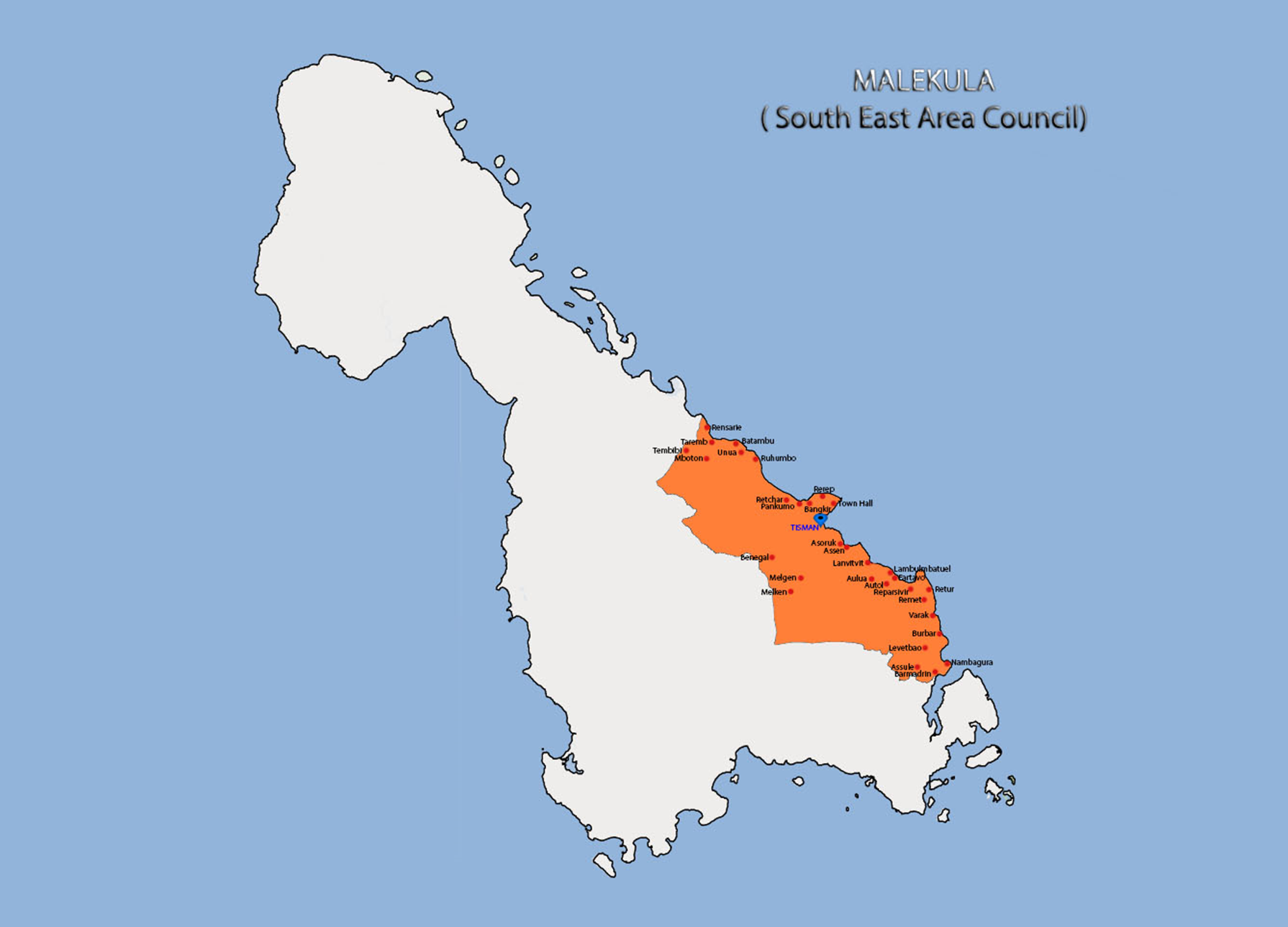
South East Malekula area council comes under the Malampa provincial office which has its main administration office at lakatoro.
There are 10 area councils in malampa and South East Malekula area council is one of them.
The name of the area council Head quarter was Rakontef and was situated at tisman South East malekula.
The total population of the area council is 5123 and total number of house hold is 1098. Number of community at the area council is 27 altogether.
The area council has government offering classes from the kindergarten, primary and secondary level education.
Water is the most basic necessity. The area council continues to rely on pipe system providing water system and rain water.
Communication services available are Digicel, Vodafone and 2 way radio.
The three main official languages are English, French, bislama and 7 different native spoken languages.
Most of the people from the South East of the island belong to the Christian faith religion but few join other denominations.
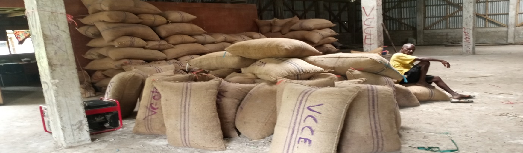
The main economic income from the area is copra, cocoa, kava and etc.
We have numerous places of interest with many historical significance, rich cultural value, beautiful natural surrounding and fun filled activities that can attract a lot of tourist.
The areas are rich and have fertile soil for agriculture purpose.
South Santo Two (2) Area Council
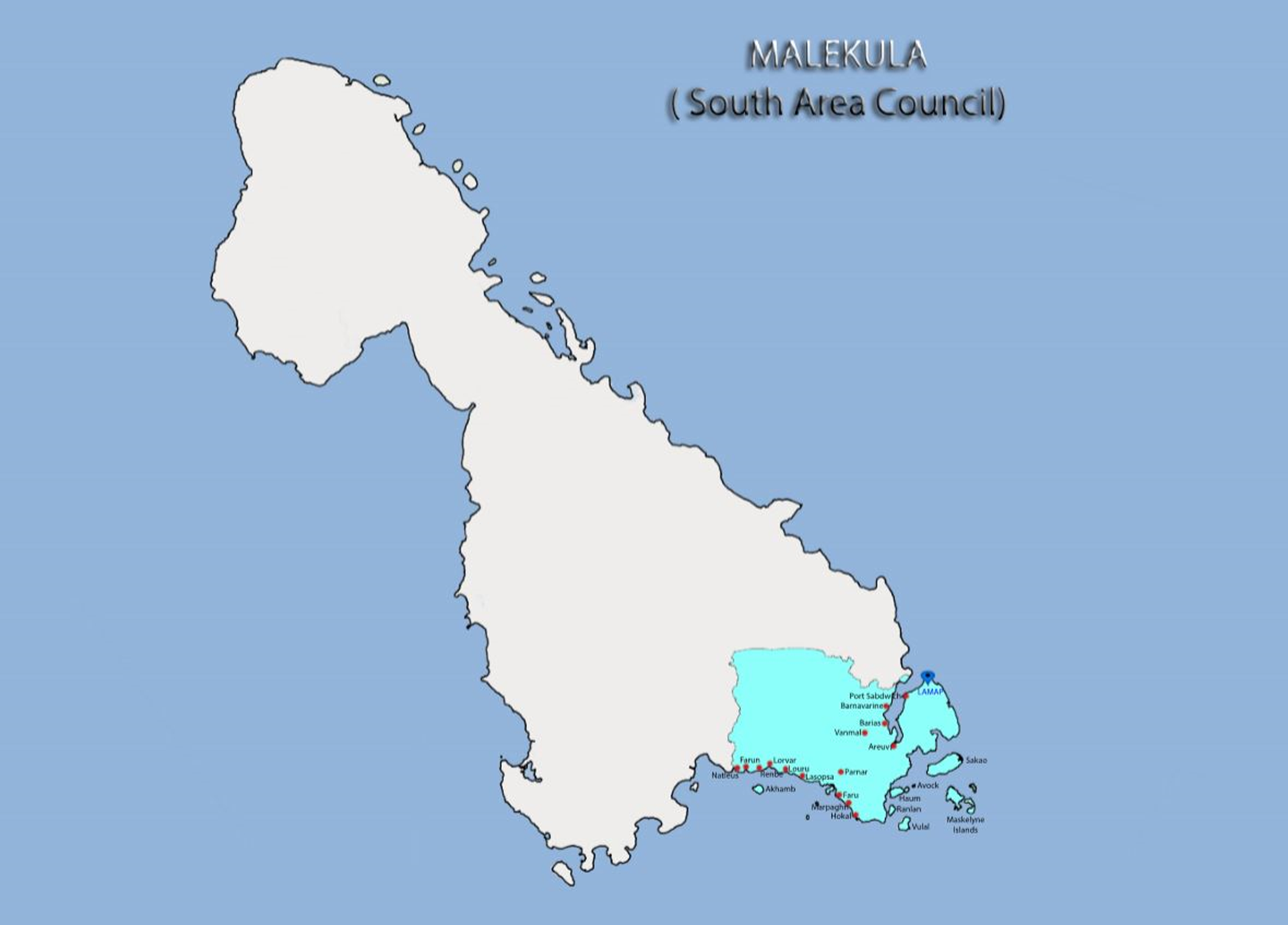
South Malekula Area Council is one of the 10 Area Councils in Malampa Province. It was located in the Southern part of the island of Malekula and is consists of 10 main communities which also includes 11 offshore islands. People live on 5 of the islands which is Maskelyne, Avock, Awei, Akhamb and Haum.
The total population of the South Area Council is over 5000. The headquater is situated on Lamap. The south Area Council is located in front of the three volcanoes which is Marum and Benbow in Ambym and Lopevi and is facing some of the consequences such as the ash fall.
The Road condition is very poor in the southern part of the island. The road that leads from North to the Southern part of the island stops at the eastern coast of Lamap and southern coast of Okai. The road does not reach most of the villages in the south and people use boat as their main source to travel between the offshore islands and also the villages.
Lamap has 1 Airport that is used by Air Vanuatu and the plane travels two times during the week. It has over 6 Anchorage sites and Port Sandwich in Lamap is one of the best Harbour in Vanuatu. Cargo ships do regular services in the South Area as well as the passenger boats for instance MV Big Sista, MV Young Blood, MV Vatmari and MV Ocean which facilitate the movement of the people and export of Copra, kava, timber and etc.
The main source of income is copra, kava, fish, Tourism, crops, mats and Livestock. The community is still planning and focusing on Timber, sales of sandalwood and more nuts for their future incomes.
Sites/Events
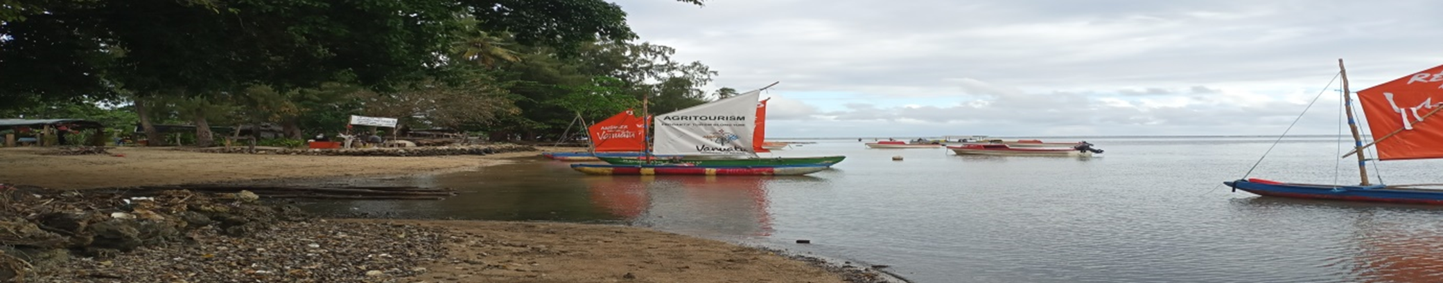
South Area Council has a good potential site for tourism development in the future in terms of their small offshore islands, the traditions, waterfall and nesting site for dugong and its annual event activity which is canoe racing that happen every year on the month of July. The Council has its own Bungalows and Guest Houses.
Area Council Members
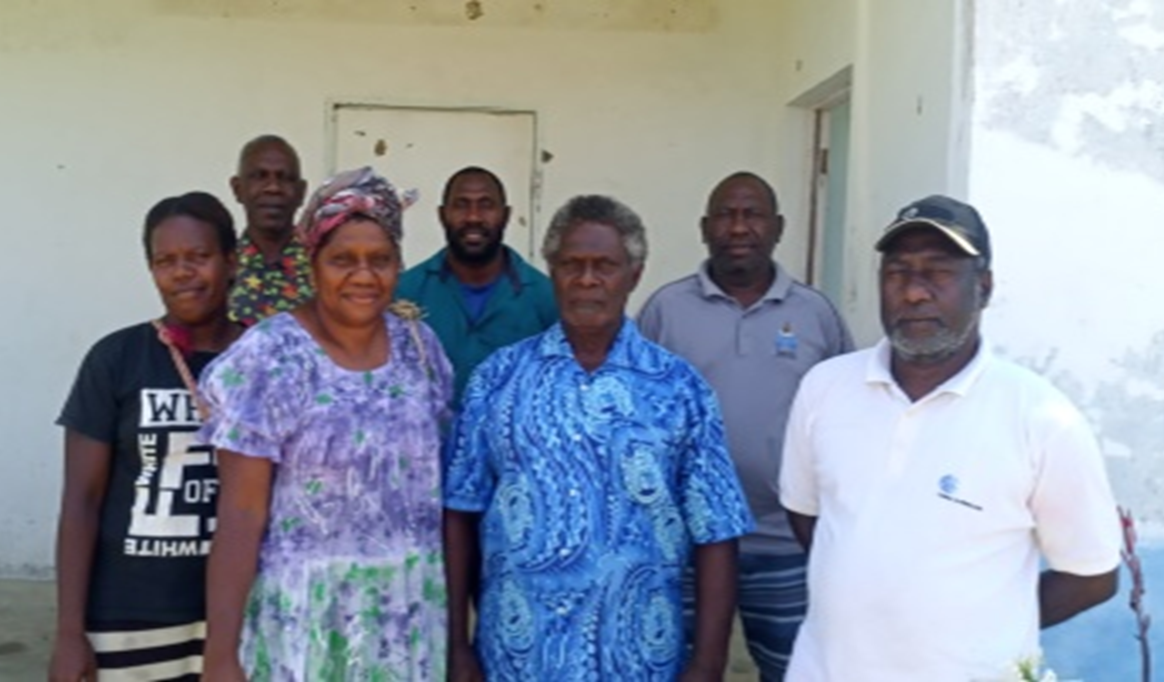
On November 1st 2021, the South Malekula Area Council form its own area council which includes the following members.
Chairman: Chief Rep Mr. Arold Sam
Vice Chairlady: Women Rep Mrs. Agnece Bareus
Youth Rep: Ms. Sakline Ismael
Church Rep: Elder Makina Fred
Business Rep: Mr. John Donald Yavath
Disability Rep: Mr. Kalmet Dick
Infrastructure & Services
The South Area Council office was located in one of the old French Condominium building which remains in a moderate condition. The Office is clean, tidy and small repair that was done by the Area Administrator.
Health Facilities
Lamap health centre has a doctor, 1 RN, 1 Midwife, 1 Lab-officer, 1 aid nurse and 1 driver/Handyman. The health centre has a boat, ambulance and a ice box that contains medicine. The building is in good condition.
There are two dispensaries which is Vanmaur Dispensary in Maskelyne Island and Ahkamb Dispensary. They have 1 RN, aid nurse, boat and diver and a ice box that uses to store their medicines.
They are few Aid Posts in Okai Village, Avock Island and Farun Village. It is service by volunteers in semi permanent building.
Education Facilities
The South Malekula Area Council has pre-schools in each of the communities. There are 6 primary School and 3 Secondary schools.
Other Facilities
The Area Council have other facilities such as the police station, weather station (meteo), Vanuatu National Bank, Western Union and Post Office that was located at Lamap and a Agriculture Field Assistant that was based in Okai.
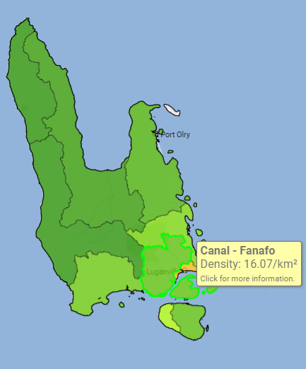
Canal Fanafo Area Council
The Canal Fanafo Area Council has 52 Communities and has about 9,000 in population, it has five Community Councils.
One of the first Area Council building, is known as the local Government building. The Canal Fanafo Area Council compound was from Namabhuk to Sele and from Palon to Flat Area, road to big bay bush. The Canal Fanafo Area Council has 10 Primary Schools (5 Anglophone & 5 Francophone), a mission School and two (2) Junior Secondary Schools.
The Canal Fanafo Area has one (1) Health Center, one (1) Clinic and seven (7) Aid post.
The distance from Luganville to Canal Fanafo Area Head Quarters is about six (6) kilometers. The Area Council consist of fifteen (15) Islands of Vanuatu, since the Nangriamel and Jimmy Stevens establishment and also unique in the Sanma Provincial region.
Data & statistique Download Sanma Province Community Profiling
49
4,582
1,025
360.5 km²
Contact
Tel : 5677564 / 7312714
Location : STONE HILL
Kalfau Lum
Area Administrator (AA)
5677564 / 7312714
Fred Naran
Community Liaison Officer (CLO)
5478318/7659558
West Malo Area Council
North Ambrym area council has been given custom name since the establishment of area council in 1986.The custom name is LIBINVERE AREA COUNCIL which means that Roots of the communities.
The area council administrates a total population of three thousand seven hundred ninety two people. This date was collected in 2018 through community profile but the update population may be is increase after the National Census. The total house hall of north ambrym is eight hundred and ninety six.
North Ambrym area council has thirty four village council start form the North West to the north east area.
The area council itself has its own revenue projects as, NBV rent, Quest house, Market and building rent for store and sea transport.
The area council has also chiefs nakamal that can takes more than 6o participants. At the area council you can have access with internet 24 /7 days a week.
In north Ambrym area council we have one health center, one dispensary and one aid post.
There are eight primary schools and two secondary schools within the area council area. The primary consists of three francophone and five Anglophone and the secondary schools include one Francophone and one Anglophone.
North Ambrym area council has also four main anchorages.
It is also very rich in its cultural activities.
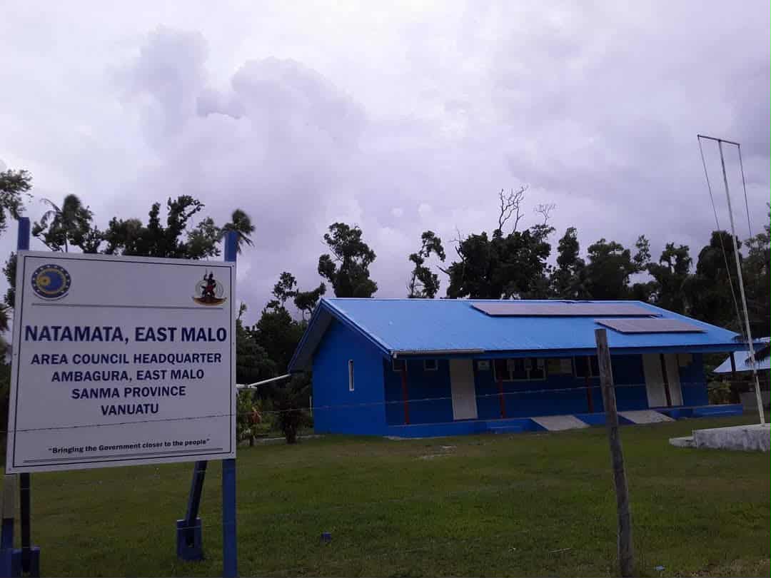
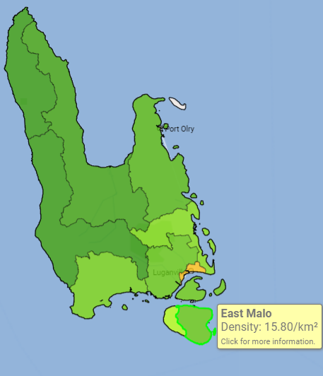
East Malo Area Council
The Area Council was given the name Natamata East Malo Area Council in 2010 during the opening of the area council permanent office building and an acquire land of 2 hectors. The initiative to set up the office base and the acquired land was done successfully by the sanma former president hon. Thomas Vora on behalf of East Malo citizens.
Population
Council members
Health
Education
Infrastructure
3 main anchorages with no jetties or wharf.
Road condition worst ever.
Transportation
Data & statistique
32
1,426
297
Contact